
Skip to content

Customer Success Stories

See how public sector leaders and enterprise teams succeed with Edgec.

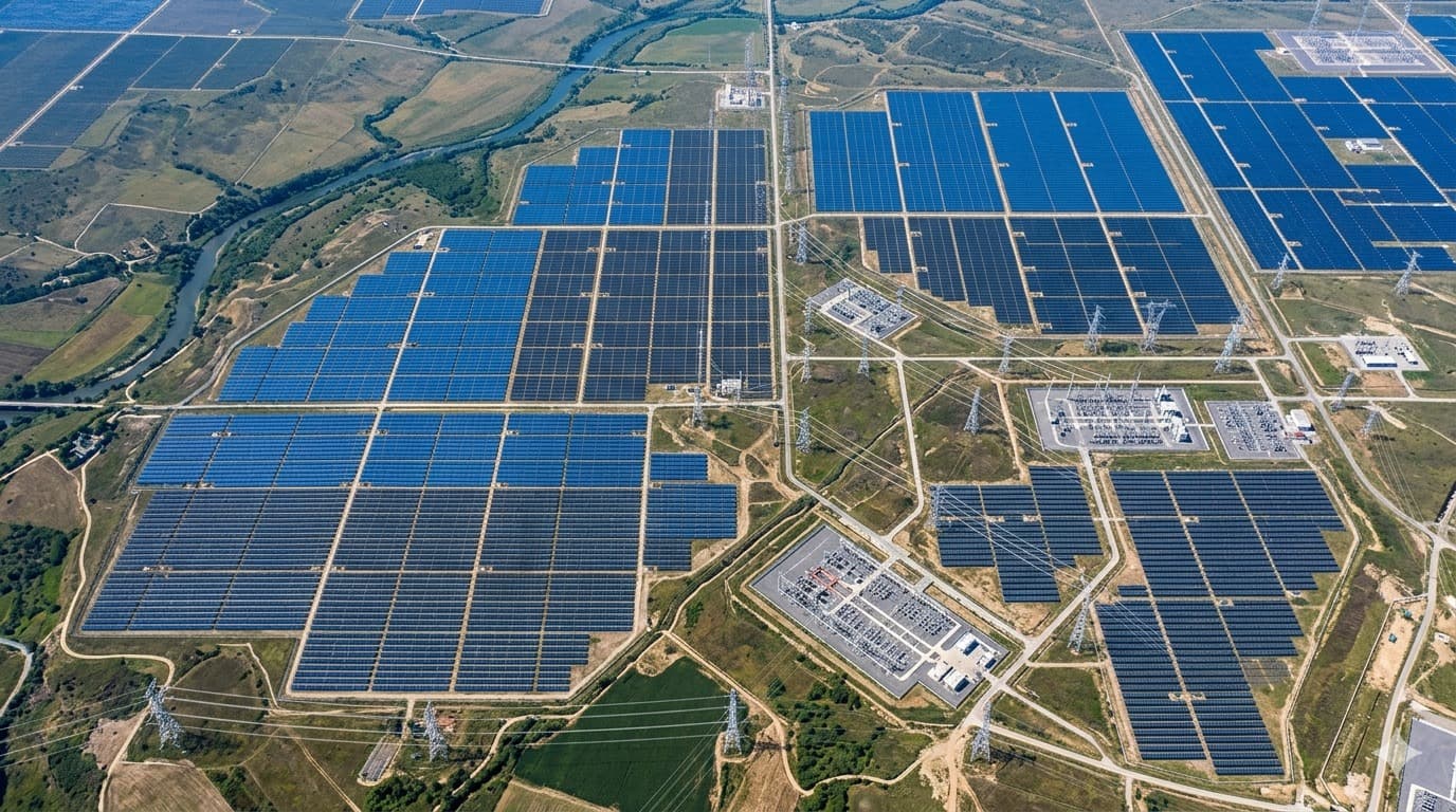
Regional energy grid mapped from satellite imagery across a multi-state territory

Energy & Resources

Mapping an Entire Regional Energy Grid from Space in 72 Hours

An energy investor needed to assess a multi-state grid territory before committing capital, but local regulatory data was outdated and incomplete. A traditional manual audit was projected at six months.

Feasibility costs saved
$3.5M+Feasibility costs saved
Unlisted assets discovered
2,500+Unlisted assets discovered
Inference precision
93.8%Inference precision
Instead of six months
72 hrsInstead of six months

Get started

Book a call with us

Tell us what data you already have. We'll show you what an intelligence layer on top of it looks like.

  • A 30-minute call, no prep needed on your side.
  • Bring the data you already have — imagery, feeds, GIS layers, records.
  • You leave with a concrete view of what an intelligence layer on top of it looks like.

Prefer to reach us directly?

Choose a time

Choose a meeting length

The usual starting point. Walk us through your data and goals, and leave with a concrete view of what's buildable.

Loading available times…

Book a meeting on Calendly

Trouble booking? Open the scheduler in a new tab.

See all Edgec meeting types on Calendly