
Visual Data → Queryable Intelligence
Turn complex datasets into something users can query in plain English.
What is Visual Data → Queryable Intelligence?
We transform raw visual data — satellite imagery, drone footage, camera feeds — into structured, searchable intelligence that anyone on your team can query using natural language.
No SQL. No GIS expertise. Just ask a question and get an answer backed by real visual data.
- Natural language querying of visual datasets
- Supports satellite, drone & camera imagery
- No coding or technical skills needed
- Real-time and historical data queryable
- API & dashboard delivery
Trusted by 20+ Companies






What You Can Query
From land use to asset counts — ask anything about your visual data.
Plain English Queries
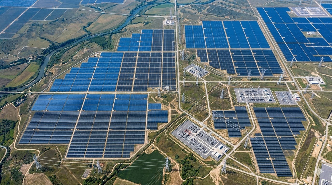
Ask "How many solar panels are in this region?" and get instant answers.
Satellite Data
Query land use, infrastructure, and environmental changes from imagery.
Camera Feeds
Extract insights from CCTV or industrial camera footage using natural language.
Historical Analysis
Compare data over time — "What changed in this area over 6 months?"
Asset Counting
Automatically count and classify objects across large geographic areas.
Anomaly Detection
Query for unusual patterns or changes across your visual dataset.
What You Get
Visual intelligence your entire team can access — not just data scientists.
Speed
Get answers in seconds instead of days. No waiting on analysts to manually review imagery.
Accessibility
Anyone on your team can query complex visual datasets — no GIS or coding skills needed.
Scalability
Query millions of data points across any geography instantly — scale without adding headcount.
Getting started
What you bring
This layer sits on top of detection output — yours or ours.
- The visual data you want to interrogate: satellite, drone, or camera
- Existing detections or structured outputs, if you already have them
- The questions your team actually asks today, and who asks them
- Any systems the answers need to flow back into
How a deployment runs
- 01
Structure the detections
Raw detections are normalised into an indexed dataset with consistent classes, locations, timestamps and confidence — the step that makes querying possible at all.
- 02
Model the domain
We encode what your terms actually mean. "Near", "active", "at risk" and "recently changed" are business definitions, not universal ones, and they have to be pinned down before answers can be trusted.
- 03
Build the query interface
Natural-language questions are translated into queries against the structured layer, so the person asking does not need SQL, GIS training, or an analyst's calendar.
- 04
Return evidence, not just numbers
Answers link back to the underlying detections and imagery, so a result can be checked rather than taken on faith.
Questions
What teams usually ask first
Do our people need SQL or GIS skills to use this?
No. That is the point of the layer. Questions are asked in plain English and the system handles translation to the underlying query. Anyone who can describe what they want to know can use it.
Can it answer questions about change over time?
Yes, provided historical imagery exists for the area. Questions like "what changed around this corridor in the last six months" are answered by comparing indexed detections across captures.
How do we know an answer is right?
Every answer traces back to the detections behind it, each carrying a location, timestamp and confidence score. You can inspect the evidence rather than trusting a number in isolation.
Can this work over our own existing datasets?
Yes. If you already have detection output or structured geospatial data, the query layer can be built over it. You do not have to redo detection to get the interface.
Where this has already been deployed
Real client deployments that use this capability, with the outcomes they produced.

Other Solutions
Get started
Book a call with us
Tell us what data you already have. We'll show you what an intelligence layer on top of it looks like.
- A 30-minute call, no prep needed on your side.
- Bring the data you already have — imagery, feeds, GIS layers, records.
- You leave with a concrete view of what an intelligence layer on top of it looks like.
Prefer to reach us directly?
Choose a time
The usual starting point. Walk us through your data and goals, and leave with a concrete view of what's buildable.
Loading available times…
Book a meeting on CalendlyTrouble booking? Open the scheduler in a new tab.