
Real-Time Oil Supply Tracking: Spotting an $8.4M Trade From Orbit
- Trade opportunity identified
- $8.4MTrade opportunity identified
- Across 12 countries
- 47 sitesAcross 12 countries
The challenge
When buying a portfolio of 47 solar sites across 12 countries, you are forced to rely on the seller's data room figures. If those spreadsheets are wrong, you risk overpaying by millions.
A global energy investor was racing to close a major acquisition of utility-scale solar assets. Their technical due diligence team had satellite imagery, financial models and a ticking clock — but no practical way to independently verify what was actually built and operating at each of the 47 sites within the deal window.
Sending survey teams to twelve countries was not an option on the timeline available.
What we built
- 01
Independent site verification
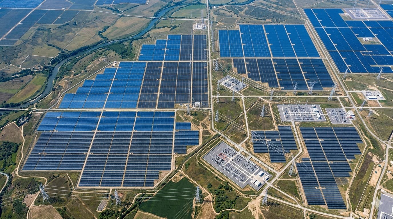
Current satellite imagery for all 47 sites was processed to detect the built extent of each array — panel counts, array geometry and the operational state visible at the time of capture — independently of anything supplied in the data room.
- 02
Capacity reconciliation
Detected physical build-out was converted into estimated generation capacity per site and reconciled against the figures the seller had provided, flagging every site where the two materially disagreed.
- 03
Deal-room ready output
Discrepancies were delivered as a per-site record the diligence team could take to the negotiating table, each backed by dated imagery rather than assertion.
What came out of it
- All 47 sites across 12 countries independently verified inside the deal window.
- An $8.4M discrepancy between reported and observed capacity surfaced before close.
- The investor entered final negotiation with its own evidence rather than the seller's.
Capabilities used
More case studies
Get started
Have a similar problem?
Tell us what data you already have. We'll show you what an intelligence layer on top of it looks like for your situation.
- A 30-minute call, no prep needed on your side.
- Bring the data you already have — imagery, feeds, GIS layers, records.
- You leave with a concrete view of what an intelligence layer on top of it looks like.
Prefer to reach us directly?
Choose a time
Loading available times…
Book a meeting on CalendlyTrouble booking? Open the scheduler in a new tab.