
Infrastructure Detection & Mapping
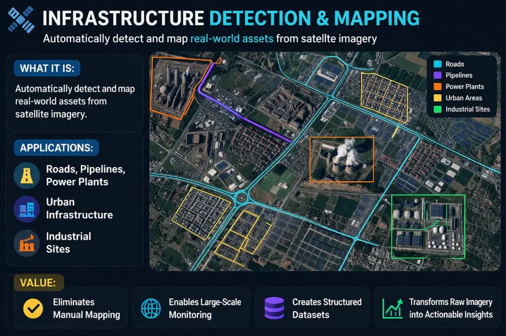
Automatically detect and map real-world assets from satellite imagery.
What is Infrastructure Detection & Mapping?
Our AI system analyzes satellite and aerial imagery to automatically detect, classify, and map physical infrastructure — without manual surveying or fieldwork.
Whether you need road networks, utility lines, or building footprints mapped across an entire city, our system delivers structured, queryable data at scale.
- Automated detection from satellite & drone imagery
- Classifies roads, buildings, utilities & more
- City-scale to country-scale coverage
- Delivered as GIS data, API, or dashboard
- Continuously updated as infrastructure changes
Trusted by 20+ Companies






What We Can Detect & Map
From road networks to remote utilities — our AI maps any physical infrastructure from satellite imagery.
Road Networks
Detect and map road types, intersections, and coverage across any geography.
Building Footprints
Identify and classify buildings by type, size, and density.
Utility Lines
Map power lines, water pipelines, and telecom infrastructure.
Bridges & Tunnels
Detect critical transport infrastructure and monitor structural changes.
Urban Expansion
Track city growth, new construction zones, and land use changes over time.
Remote Area Mapping
Map infrastructure in areas with no ground-level access.
What You Get
Accurate, AI-generated infrastructure data delivered directly to your team — ready to use.
Urban Planning
Empower city planners with accurate, up-to-date infrastructure maps for smarter decision-making and resource allocation.
Supply Chain & Logistics
Understand road connectivity and infrastructure gaps to optimize routes and reduce delivery costs.
Investment & Development
Identify high-growth zones and infrastructure-ready areas for real estate or development investment.
Getting started
What you bring
We build on data you already have or can license. Nothing here requires you to own a satellite.
- An area of interest — a city, a corridor, a region, or a national footprint
- Imagery, or permission for us to source it: satellite, aerial survey, or drone
- Any existing GIS layers or asset registers, however incomplete
- The asset classes that matter to you, so detection is tuned to them
How a deployment runs
- 01
Define the target classes
We agree exactly what counts as a detection — road classes, building types, utility structures — before a model is trained. Ambiguity here is what makes mapping projects fail later.
- 02
Train and validate on your geography
Detection models are tuned against imagery of your actual terrain. A model that performs well on dense European suburbs will not transfer cleanly to arid or informal-settlement landscapes without work.
- 03
Run at scale
The pipeline processes the full area of interest, tagging each detection with coordinates, class, footprint and a confidence score.
- 04
Deliver into your stack
Output arrives as GIS-ready datasets, an API, or a dashboard — whichever your team already works in. We do not ask you to adopt a new system to read your own data.
Questions
What teams usually ask first
What imagery resolution do you need for infrastructure mapping?
It depends on the asset class. Road networks and building footprints are reliably detectable at sub-metre resolution. Smaller structures such as individual utility poles need higher resolution or aerial and drone capture. We confirm what is achievable against your target classes before any commitment.
How accurate is automated infrastructure detection?
Precision varies by asset class, imagery quality and terrain. Every detection carries a confidence score, so you can set a threshold appropriate to the decision being made — a planning study and an enforcement action do not need the same bar. We validate against a ground-truthed sample before rollout.
Can you map areas with no ground-level access?
Yes — that is one of the strongest reasons to use this approach. Remote, restricted, unsafe or politically inaccessible areas can be mapped from orbit without anyone on the ground.
Does the map stay current?
It can. The same pipeline can be re-run on a schedule so the dataset updates as infrastructure changes, rather than being a one-off snapshot that decays from the day it is delivered.
Where this has already been deployed
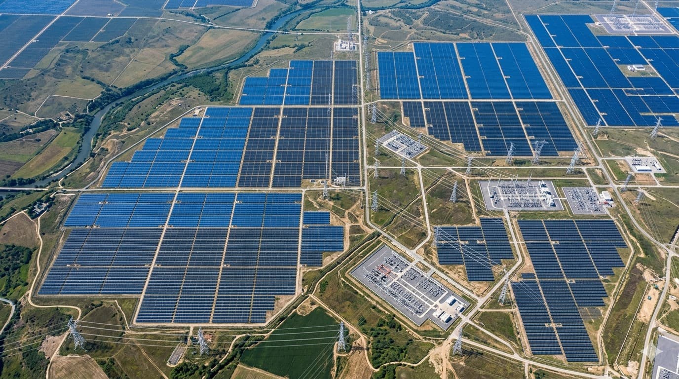
Real client deployments that use this capability, with the outcomes they produced.


Other Solutions
Get started
Book a call with us
Tell us what data you already have. We'll show you what an intelligence layer on top of it looks like.
- A 30-minute call, no prep needed on your side.
- Bring the data you already have — imagery, feeds, GIS layers, records.
- You leave with a concrete view of what an intelligence layer on top of it looks like.
Prefer to reach us directly?
Choose a time
The usual starting point. Walk us through your data and goals, and leave with a concrete view of what's buildable.
Loading available times…
Book a meeting on CalendlyTrouble booking? Open the scheduler in a new tab.