
Change Detection & Monitoring
Track changes over time using satellite or camera imagery.
What is Change Detection & Monitoring?
Our AI system continuously compares satellite or camera imagery over time to automatically detect and flag any meaningful changes — whether it's new construction, environmental shifts, or unauthorized activity.
Instead of manually reviewing thousands of images, your team gets instant alerts the moment something changes on the ground.
- Automated comparison of imagery over time
- Detects construction, demolition & land use changes
- Works with satellite, drone & CCTV footage
- Real-time alerts when changes are detected
- Historical change timeline & reporting
Trusted by 20+ Companies






What We Can Track & Detect
Track new builds, demolitions, and site progress over time.
Construction Monitoring
Track new builds, demolitions, and site progress week over week.
Environmental Changes
Detect deforestation, flooding, land degradation, and vegetation loss.
Energy Asset Changes
Monitor pipeline expansions, rig activity shifts, and plant modifications.
Unauthorized Activity
Flag illegal construction, encroachment, or land use violations.
Urban Development
Track city expansion, new roads, and infrastructure growth.
Remote Site Monitoring
Monitor hard-to-reach locations without physical site visits.
What You Get
Stay ahead of change — before it becomes a problem.
Instant Alerts
Get notified the moment a change is detected — no manual image review, no delays, no missed events.
Historical Timeline
Access a full visual history of any location — see exactly what changed, when, and how fast.
Cost Savings
Eliminate expensive field inspections and manual monitoring — let AI do the watching for you.
Getting started
What you bring
Change detection needs a baseline and a cadence. Both are decisions, not defaults.
- The locations, corridors or sites you need watched
- A baseline: existing historical imagery, or a first capture we establish
- What counts as a change worth an alert — and what is just noise
- Who should receive alerts, and in which system
How a deployment runs
- 01
Establish the baseline
The first pass creates the reference state. Where you already hold historical imagery, we can reconstruct a baseline backwards rather than starting from today.
- 02
Define what counts as change
Seasonal variation, shadow, cloud and capture angle all shift pixels without anything happening on the ground. Tuning against these is most of the work in making alerts trustworthy.
- 03
Compare on a cadence
Each new capture is compared against the reference and the previous pass, so changes surface as dated, located events with a confidence score.
- 04
Alert and archive
Meaningful changes trigger alerts into your workflow, and every comparison is retained so any location has a visual history you can scrub back through.
Questions
What teams usually ask first
How often can you check for changes?
Cadence is governed by imagery availability for your area — commercial satellite revisit is typically measured in days, drone capture is on your own schedule, and camera feeds can be continuous. We set cadence against how fast the thing you are watching actually moves.
How do you avoid alerting on seasonal or weather noise?
By tuning against it explicitly. Vegetation cycles, shadow length, cloud and capture geometry all change the image without anything changing on the ground. Suppressing that is the difference between alerts people act on and alerts people mute.
Can you detect change from before we started monitoring?
Yes, where historical imagery exists. Archives can be processed retrospectively to reconstruct how a site changed over prior years, rather than only from the day monitoring began.
What sorts of change can you detect?
New construction and demolition, land clearance and excavation, vegetation growth and loss, flooding and water accumulation, erosion and land movement, and changes in site activity or asset presence.
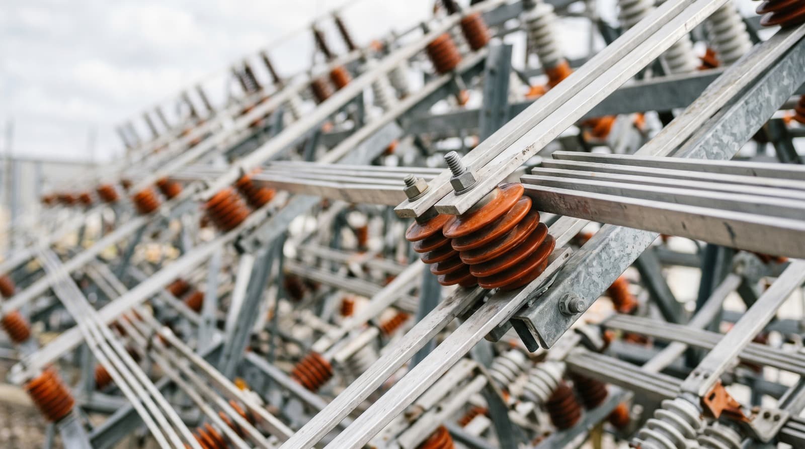
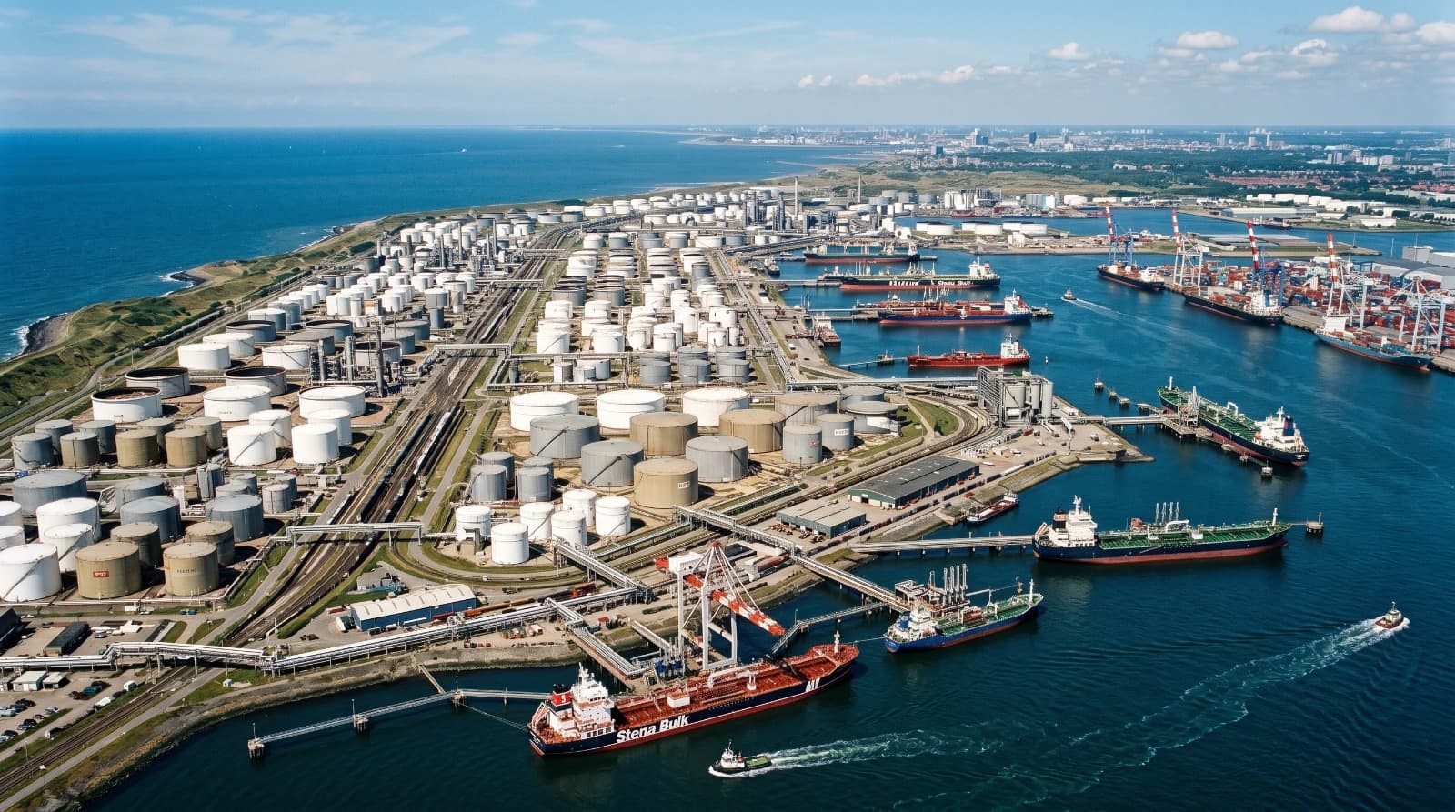
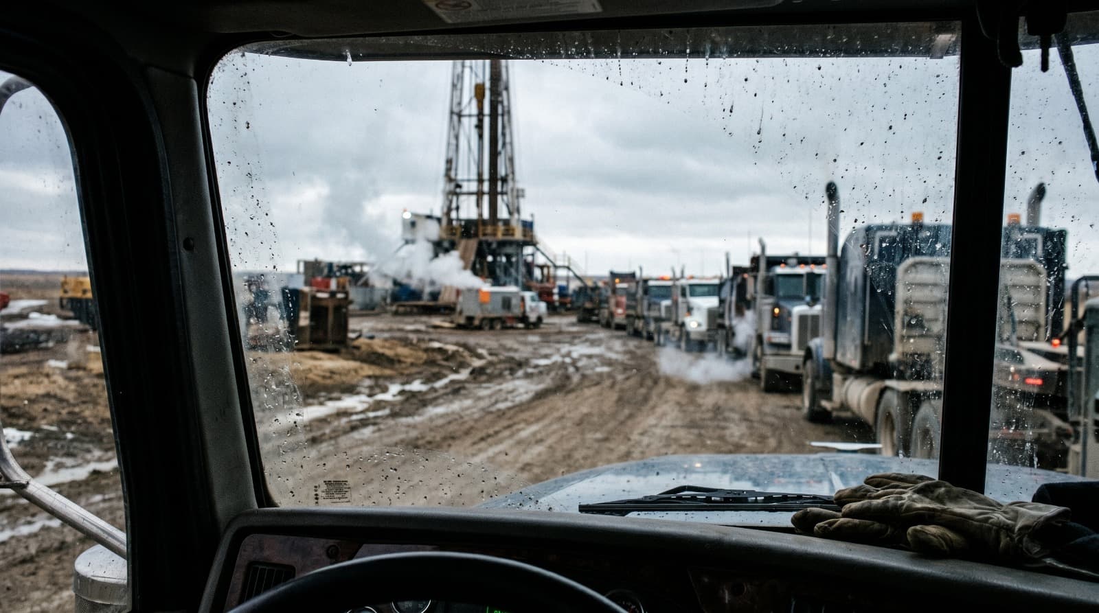
Where this has already been deployed
Real client deployments that use this capability, with the outcomes they produced.
Other Solutions
Get started
Book a call with us
Tell us what data you already have. We'll show you what an intelligence layer on top of it looks like.
- A 30-minute call, no prep needed on your side.
- Bring the data you already have — imagery, feeds, GIS layers, records.
- You leave with a concrete view of what an intelligence layer on top of it looks like.
Prefer to reach us directly?
Choose a time
The usual starting point. Walk us through your data and goals, and leave with a concrete view of what's buildable.
Loading available times…
Book a meeting on CalendlyTrouble booking? Open the scheduler in a new tab.